
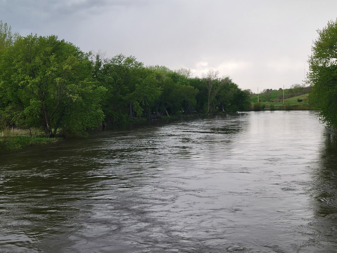
Terrain360, a leading provider of immersive 360-degree virtual tour experiences, announces the commencement of a new project to map the Little Sioux River in Iowa. The project, commissioned by the Iowa Department of Natural Resources, will take place from June 4-11. Utilizing technology similar to Google Street View, Terrain360 will capture high-resolution panoramic imagery of approximately 174 miles of the Little Sioux River and 22 access sites.
This initiative builds on the successful 2023 project, enhancing accessibility and appreciation of the river for recreational users, researchers, educators, and conservationists alike.
“We are thrilled to continue our collaboration with the Iowa DNR,” said Ryan Abrahamsen, co-founder of Terrain360. “Our goal is to provide an immersive virtual tour that not only showcases the natural beauty of the Little Sioux River but also supports informed decision-making for recreational activities and policy planning.”
The high-resolution, 360-degree imagery will allow users to explore the river remotely, offering a Google Street View-like experience. This virtual tour will integrate with various datasets, including master plan documents, natural resource assessments, and GIS/USGS information, providing a comprehensive visual dataset that supports a range of analyses and stakeholder applications.
The mapping project will involve capturing images at regular intervals along the river, supplemented by geospatial and ambient weather data. The extensive documentation of the river and its access sites will facilitate enhanced river management capabilities, scientific research, education, marketing, risk management, species inventory, and stewardship outreach.
“We are confident that our innovative technology and experienced team will deliver exceptional results, providing valuable tools for the Iowa DNR and engaging the community in the stewardship of this vital waterway,” added Abrahamsen.
ABOUT TERRAIN360
Terrain360 harnesses innovative technology to revolutionize exploration, asset management, and policy-making. By providing unique, in-depth insights into the natural world, we bridge the digital and physical realms, enhancing experiences and fostering a deeper understanding of natural landscapes.


Comments
No comments on this item Please log in to comment by clicking here